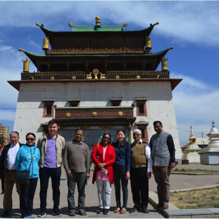
LANDex Training for Central Asia held in Mongolia


The global land governance index that puts people at the center of land data, democratizing land monitoring and building a data ecosystem where all voices can be heard.
People's data collected and identified through LANDex is used to hold relevant actors accountable. LANDex data contributes to the the monitoring of major development and rights-based frameworks.


LANDex monitors land governance according to the 10 Commitments of the International Land Coalition. The data, collected and centralised from various sources, gives a comprehensive understanding of the state of land governance in each country according to the legal framework, levels of implementation and outcomes.


Each country's LANDex score is set on a scale of 0-100, where 100 is the most desirable. The country score reflects an average of all the LANDex indicators in the country, which are also set on a standard scale of 0-100
Scores for each country are visualised on an interactive map. This allows users to click on a country to find out more about its land governance. Users can also filter data according to relevant thematics and frameworks seen on the left.

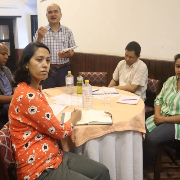
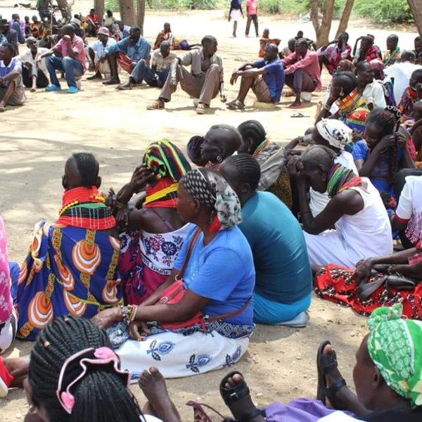
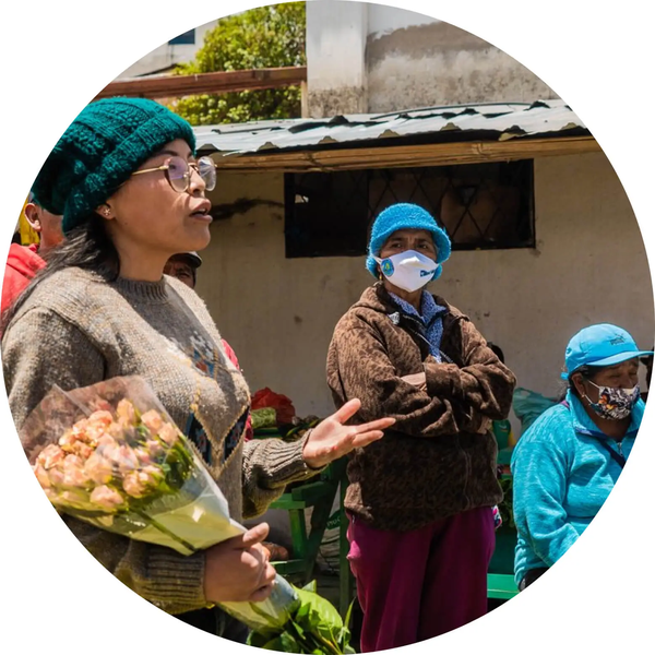
LANDex puts people at the center of land governance monitoring. To caputure diverse perpectives on crucial elements of land governace across all indicators, we rely on input from individuals and communities who represent different sectors of the land community.
The data generated and identified through LANDex is itended to inform national, regional and global land governance processes, providing evidence-based insights to guide policy reforms while elevating the voices of individuals, communities and groups often absent in official numbers.